Map window
Map window
The map window is available in any operating mode, except for the "Reports" section. The window size is flexibly configured. The map allows you to track the main objects of monitoring, their movement and events occurring with them.
A wide range of mapping services is available, such as Yandex Maps, Google maps, Open Street maps and others.
Map setup
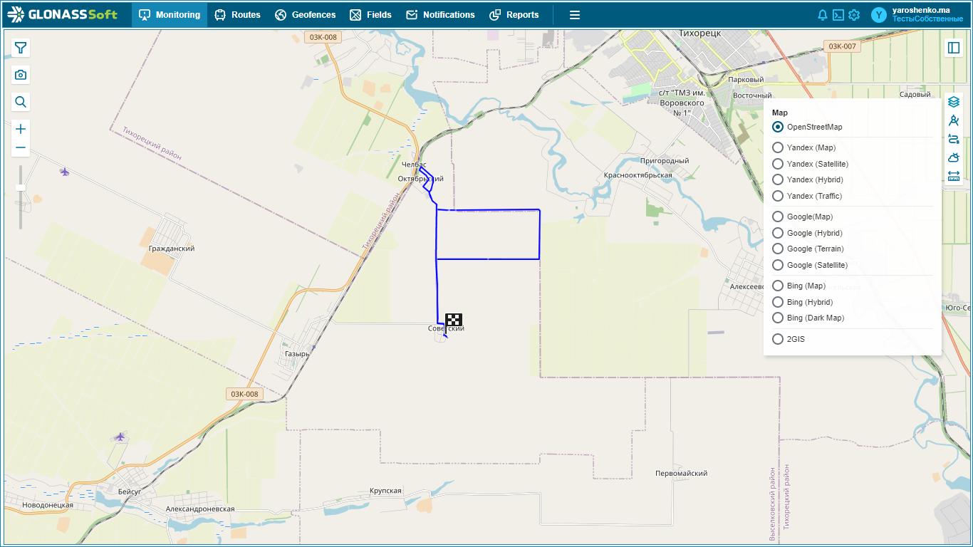
To configure the map, you must click the button  and select the resource of Internet maps. Maps will differ depending on the selected service.
The map window contains a set of tools to improve the usability, including:
 - changing the scale of the map
 - full text search
 - building routes
 - weather service
 - opening of the cadastral map
 - display of objects on the map
 - display photos on the map
 - expands the map without a workspace
 - minimizes the map, opening the workspace